Featured Project: Mobile GIS & Data Collection Using ArcGIS Field Maps and Survey123
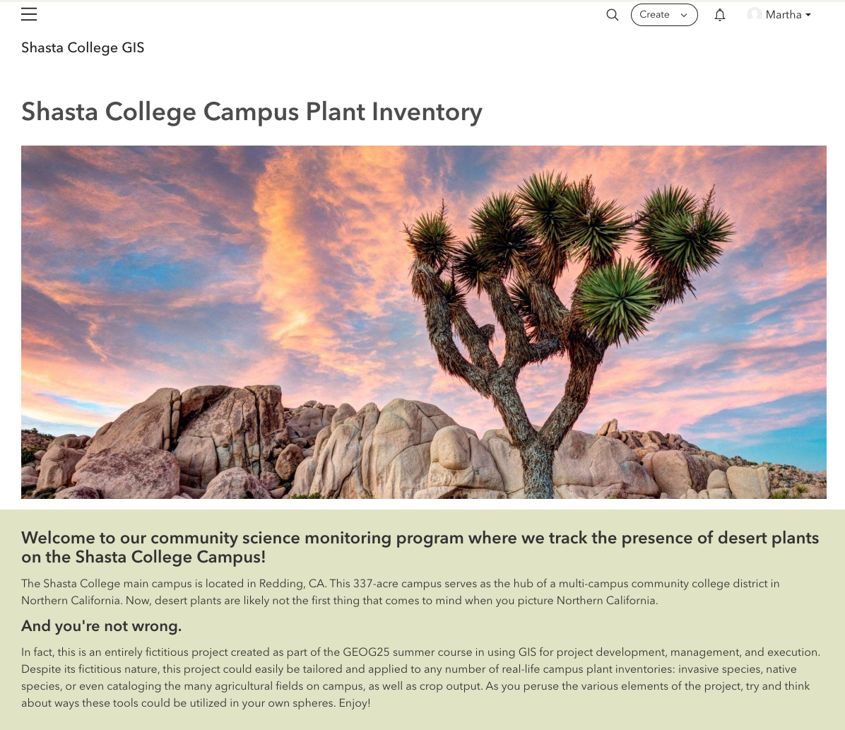
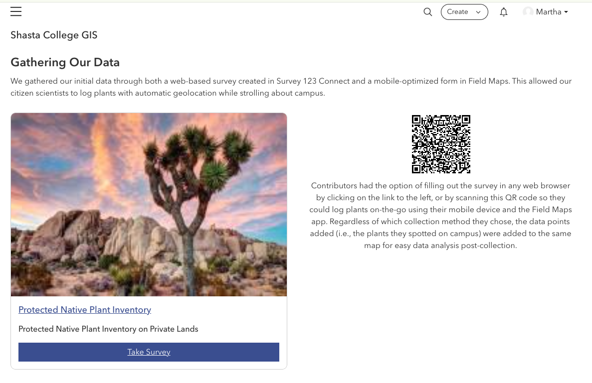
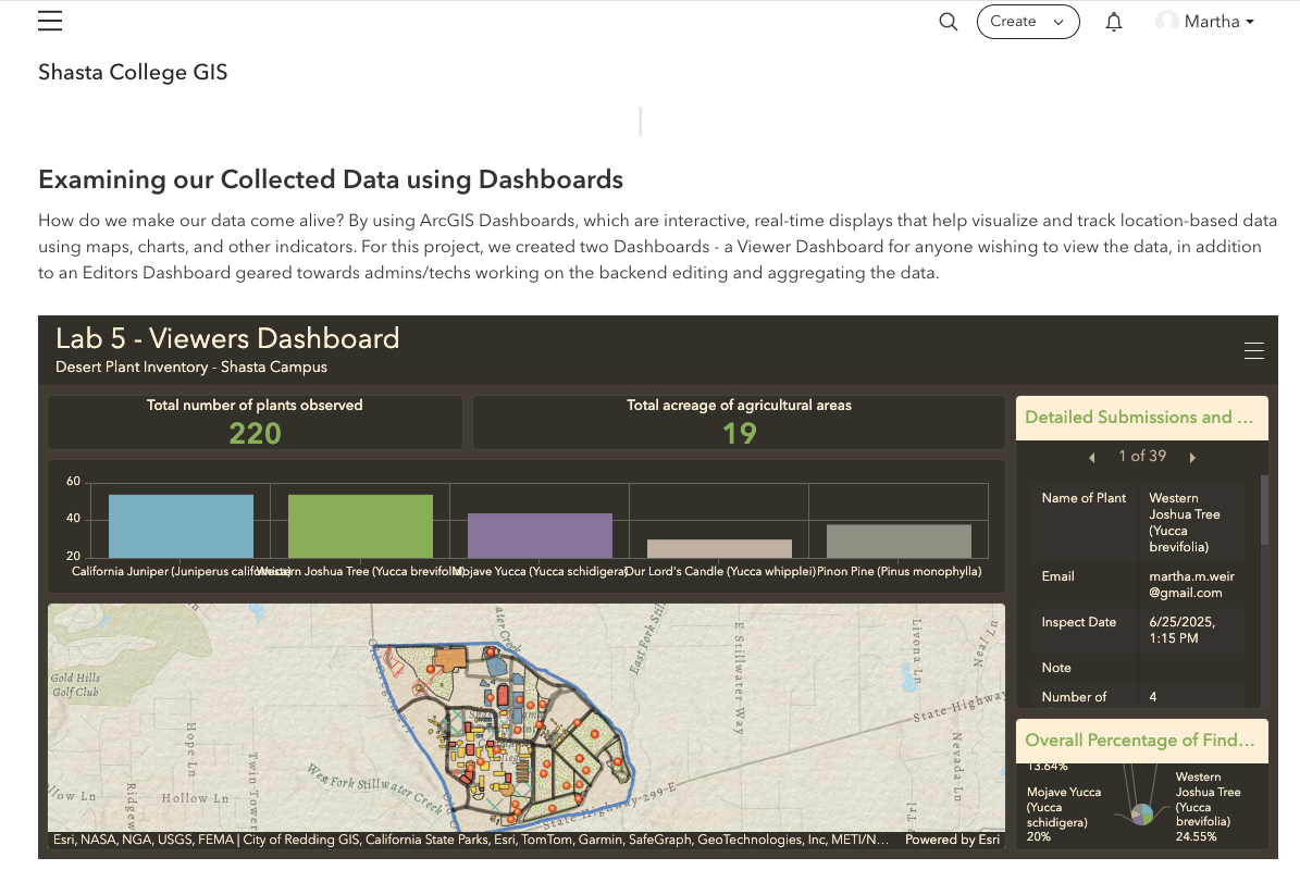
Developed for GEOG-25 – GIS Projects at Shasta College, this project explored the design and implementation of a complete mobile GIS data collection workflow. I created a fictional community science plant inventory that allowed users to collect location-based observations through ArcGIS Field Maps and Survey123 and brought the resulting data together in an ArcGIS Hub site for mapping, visualization, reporting, and analysis.
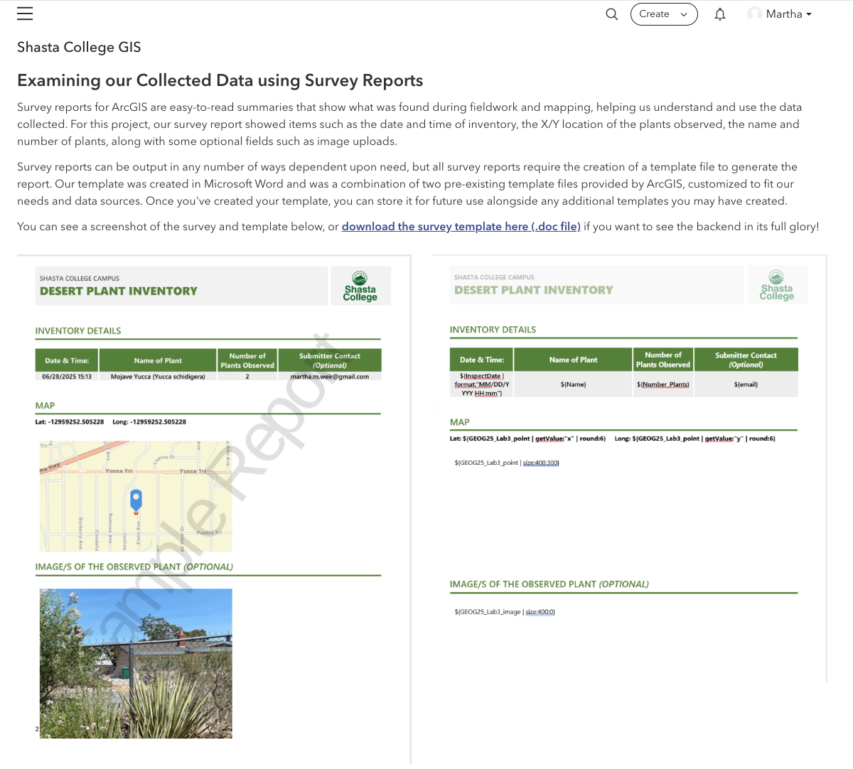
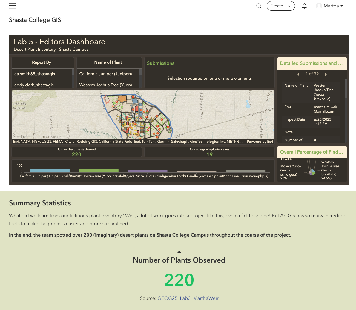
The project included configuring mobile and web-based data collection, working with GIS data schemas and forms, creating interactive maps and dashboards for different users, and developing Survey123 report templates to turn collected field data into standardized reports. The final Hub site brought each component together into a single project demonstrating how mobile GIS tools can support a real-world field inventory or monitoring program.
The course itself emphasized mobile data collection, database schema design, rules, relationships and domains, dashboards, data management, documentation, and implementation of a complete GIS project.
Note: The original ArcGIS Hub site has been archived. Screenshots from the completed project are included below to document the project design, mobile data collection workflow, dashboards, maps, and reporting components.